
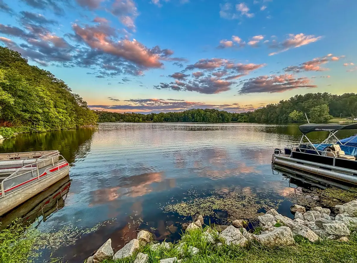
 Representative image
Rhode Island
Upper Slatersville Reservoir
Rhode Island
About this destination
Upper Slatersville Reservoir is a man-made reservoir located in the town of North Smithfield, Rhode Island. The reservoir was created in 1925 as part of the Slatersville Waterworks system to provide drinking water to the surrounding area.
The reservoir covers an area of approximately 125 acres and has a maximum depth of 35 feet. It is fed by the Branch River and its watershed covers over 5,000 acres.
Today, the Upper Slatersville Reservoir is a popular spot for fishing, boating, and hiking. The surrounding area is home to several trails, including the North South Trail and the Slatersville Reservoir Loop.
The reservoir is also an important habitat for wildlife, including a variety of fish species, waterfowl, and other aquatic animals. It is a popular destination for birdwatchers and nature enthusiasts